NLDAS: Specifications
The NLDAS domain extends from 25 to 53 North and -125 to -67 West. The NLDAS Grid is defined as follows:
*Table below scrolls to right
| Position | Grid Column | Grid Row | Longitude | Latitude |
|---|---|---|---|---|
| Lower Left | 1 | 1 | -124.9375 | 25.0625 |
| Lower Right | 464 | 1 | -67.0625 | 25.0625 |
| Upper Right | 464 | 224 | -67.0625 | 52.9375 |
| Upper Left | 1 | 224 | -124.9375 | 52.9375 |
(latitude/longitude values represent center of 1/8th-degree grid boxes)
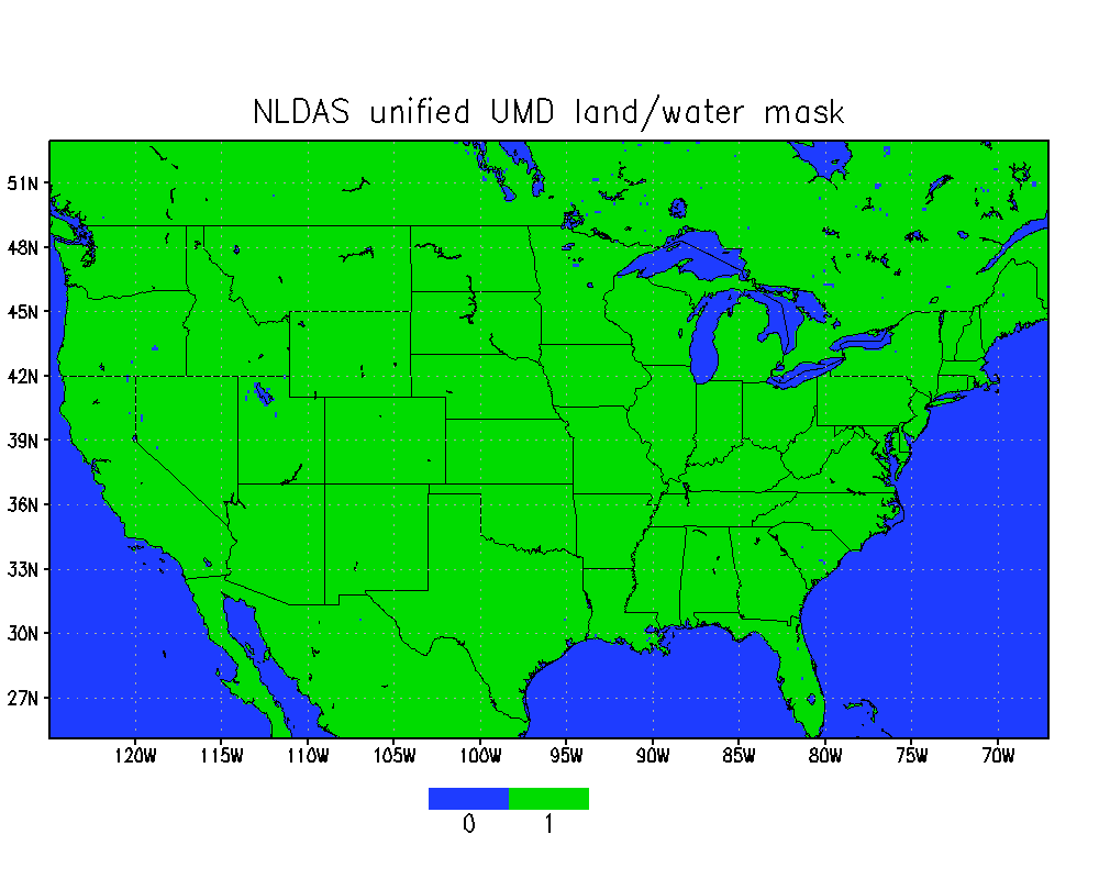
NLDAS Unified Mask
The NLDAS unified mask is based on unadjusted 1-km University of Maryland (UMD) vegetation data.
This NLDAS unified mask is used in all NLDAS modeling efforts.
- NLDAS land mask (netCDF-4 format)
Additional masks on the NLDAS grid are available on the NCA-LDAS Specifications page.
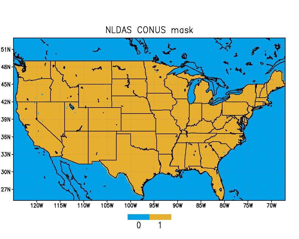
A mask over the CONUS (contiguous United States) region of the NLDAS domain is also available in the NLDAS land mask file.