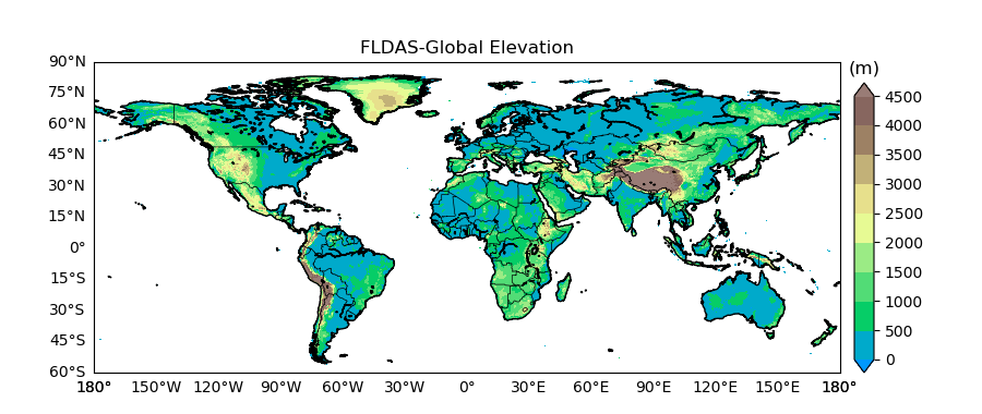
FLDAS Elevation
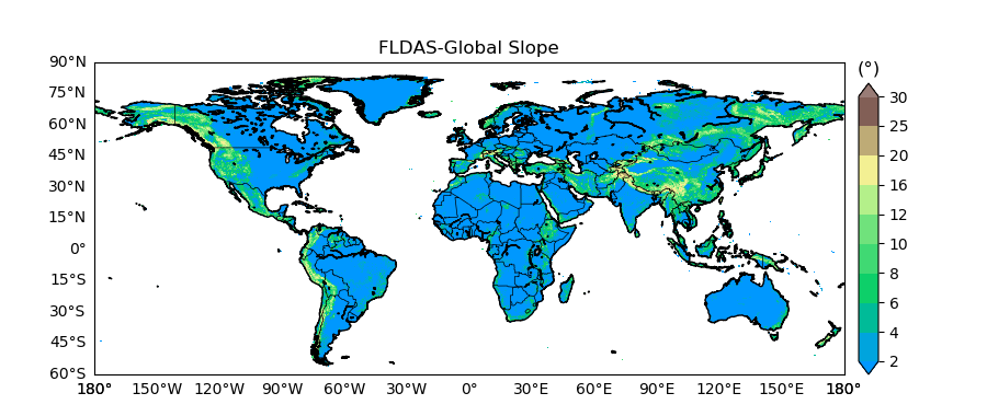
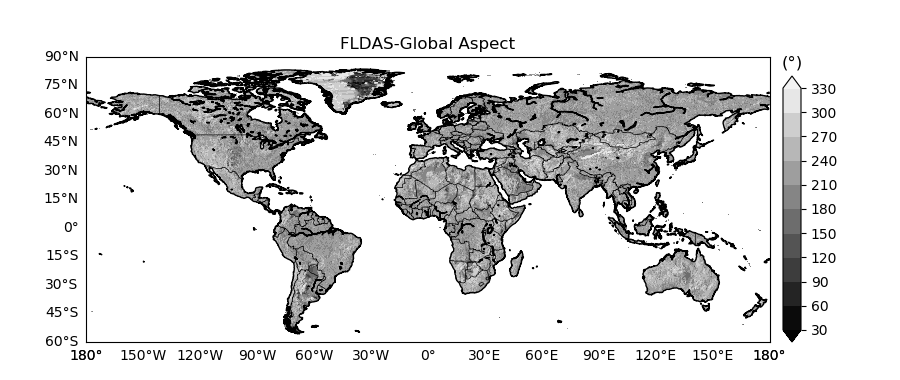
FLDAS models use SRTM30 as their elevation input. Slope and aspect values are also derived from SRTM30. SRTM30 is a near-global digital elevation model comprising a combination of data from the Shuttle Radar Topography Mission, flown in February, 2000 and the U.S. Geological Survey GTOPO30 data set. It can be considered to be either an SRTM data set enhanced with GTOPO30, or as an upgrade to GTOPO30.
Data files (NetCDF format): FLDAS-Global ; FLDAS-Central Asia ; FLDAS-Forecast
FLDAS-Global Terrain Illustrations: