Land Data Assimilation System
Land Data Assimilation Systems (LDAS) aim to produce high quality fields of land surface states (e.g., soil moisture, temperature) and fluxes (e.g., evapotranspiration, runoff) by integrating satellite- and ground-based observational data products, using advanced land surface modeling and data assimilation techniques.
The Hydrological Sciences Laboratory at NASA's Goddard Space Flight Center has been developing multiple LDAS and distributing LDAS output for more than two decades.
Motivation
- The land-surface component of the water cycle affects atmospheric and climatic processes while also controlling the distribution of freshwater, which is vital to life on land.
- Proper characterization of spatial and temporal variations in water and energy states (e.g., soil moisture and temperature) and fluxes (e.g., evaporation and runoff) and is critical to many scientific and practical applications, including weather prediction, agricultural forecasting, drought and flood risk assessments, and improving understanding of land-atmosphere interactions and climate change impacts.
- Numerous ground and space based observations are relevant to the water and energy cycles, but often they include errors or spatial and temporal gaps, or they may not contain exactly the information we need (for example, snow cover observations do not tell us how much water the snow contains).

Approach
- Land Data Assimilation Systems use sophisticated numerical models of physical processes to integrate data from multiple ground and space based observing systems in order to produce fields of water and energy states and fluxes that are physically consistent and spatially and temporally continuous.
- LDAS fill gaps and minimize errors in the observations using our knowledge of water and energy cycle processes.
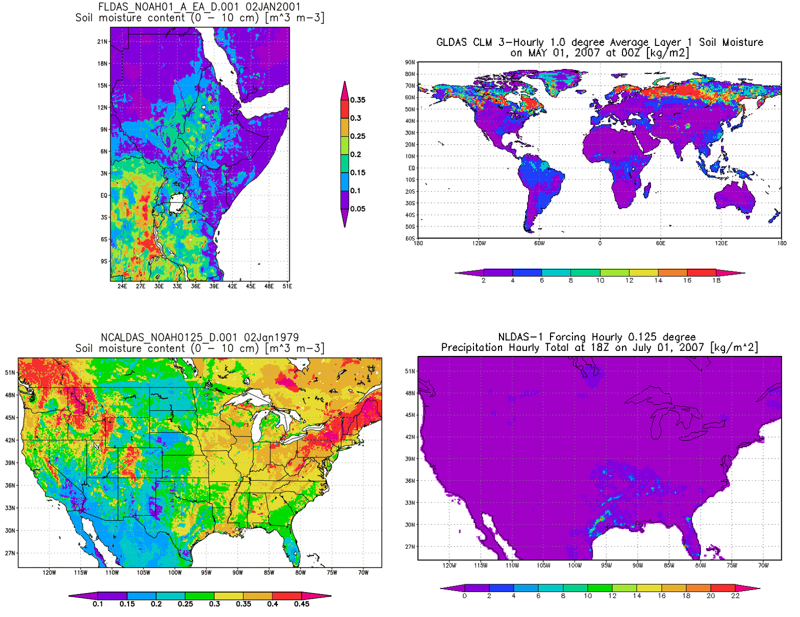
- The LDAS projects (NLDAS, GLDAS, FLDAS, and NCA-LDAS) are instances of the Land Information System (LIS) land surface modeling software that have been configured for specific domains and purposes.
Uses
- Water resources applications
- Drought and wetness monitoring
- Numerical weather prediction studies
- Water and energy cycle scientific investigations
- Interpretation of satellite and ground-based observations
- The Goddard Earth Sciences Data and Information Services Center serves LDAS data to over 1,000 unique users each month
Related Projects
NASA Global Water & Energy Cycle focus area
NASA Energy and Water Cycle Climatology
Groundwater and soil moisture conditions from GRACE data assimilation
