

GLDAS Elevation
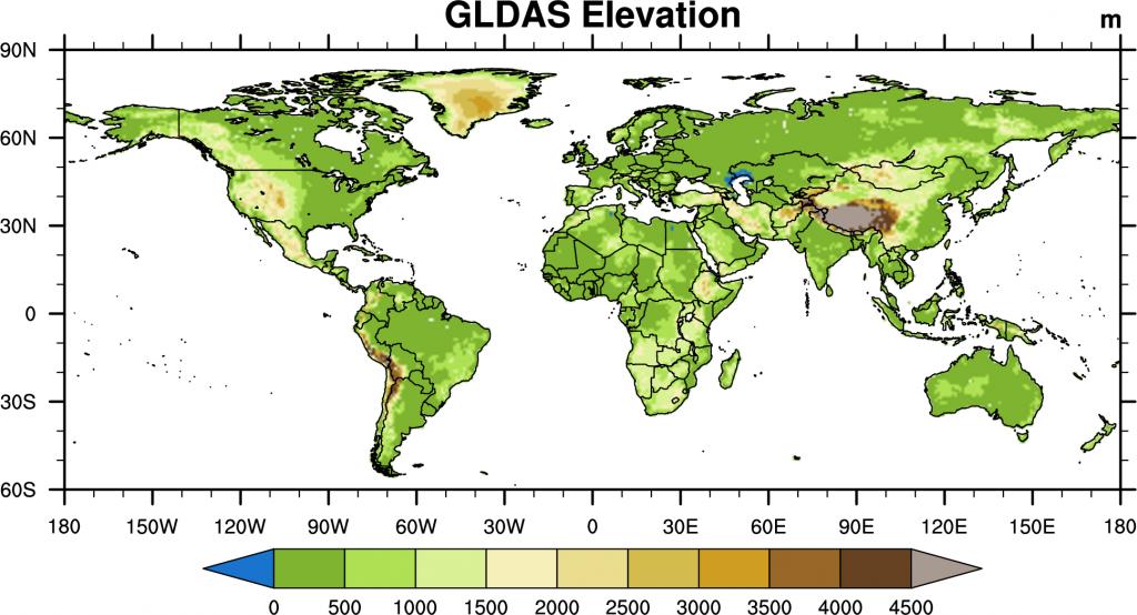
The GLDAS elevation field is based on the GTOPO30 Global 30 Arc Second (~1km) Elevation Dataset. The GTOPO elevation was averaged up to the GLDAS resolutions at 0.25 degree and 1 degree. The meteorological forcing fields (i.e. temperature, pressure, humidity and longwave radiation) are adjusted for differences in the GLDAS elevation and respective model terrain height, following Cosgrove et al. (2003).

Elevation data used in GLDAS-2
- Elevation data (NetCDF format) : 0.25 degree, 1 degree